טעקע:Surrey UK location map.svg

גודל התצוגה המקדימה הזאת מסוג PNG של קובץ ה־SVG הזה: 790 × 599 פיקצעלן. אנדערע רעזאלוציעס: 317 × 240 פיקצעלן | 633 × 480 פיקצעלן | 1,013 × 768 פיקצעלן | 1,280 × 971 פיקצעלן | 2,560 × 1,942 פיקצעלן | 1,425 × 1,081 פיקצעלן.
בילד מיט אַן הױכע רעזאָלוציע (טעקע SVG, נאמינעל: 1,425 × 1,081 פיקסעלן, טעקע גרייס: 1.93 מעגאבייטן)
| דעסקריפציע |
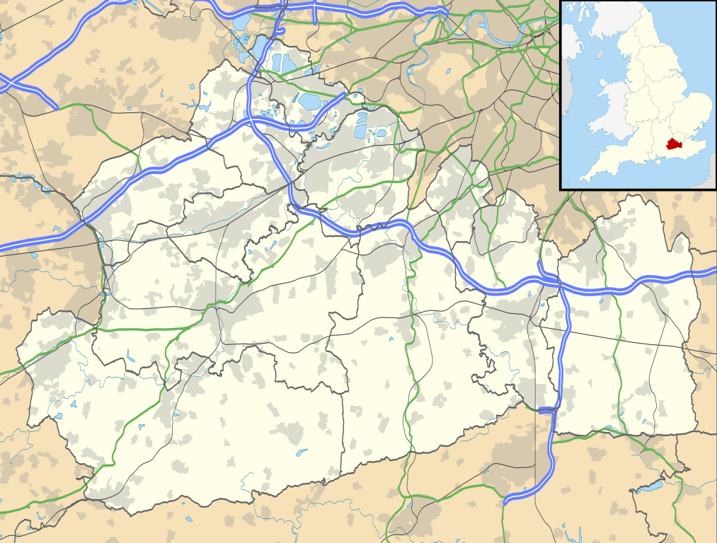
Map of Surrey, UK with the following information shown:
Equirectangular map projection on WGS 84 datum, with N/S stretched 160% Geographic limits:
|
| דאַטע | |
| מקור |
|
| שרייבער | Nilfanion, created using Ordnance Survey data |
| דערלויבעניש (ווײַטערניצן די דאָזיגע טעקע) |
די טעקע ווערט ליצענצירט אונטער דער Creative Commons Alike 3.0 Unported ליצענץ. צושרײַבונג: Contains Ordnance Survey data © Crown copyright and database right
|
| אַנדערע ווערסיעס | File:Surrey UK district map (blank).svg - Blank map |
.svg)
היסטאריע פֿון דער טעקע
קליקט אויף א דאטע/צײַט צו זען דאס בילד אזוי ווי עס איז דעמאלסט געווען
| דאַטע/שעה | געמינערטע בילד | געמעסטן | באניצער | קאָמענטאַר | |
|---|---|---|---|---|---|
| איצטיקע | 19:15, 26 סעפּטעמבער 2010 | | 1,081 × 1,425 (1.93 מעגאבייטן) | Nilfanion | {{Information |Description=Map of Surrey, UK with the following information shown: *Administrative borders *Coastline, lakes and rivers *Roads and railways *Urban areas Equirectangular map projection on WGS 84 datum, with N/S stretched 160% |
טעקע באַניץ
די פאלגנדע בלעטער ניצן די דאזיגע טעקע:
גלאבאלע טעקע־פארווענדונג
די פאלגנדע אנדערע וויקיס ניצן די דאזיקע טעקע:
- באניץ ביי ar.wikipedia.org
- באניץ ביי bg.wikipedia.org
- באניץ ביי ceb.wikipedia.org
- באניץ ביי en.wikipedia.org
- Staines-upon-Thames
- Dorking
- Guildford
- Effingham, Surrey
- Farnham
- Ashtead
- Leatherhead
- Epsom
- Wisley
- Cobham, Surrey
- Hindhead
- Fetcham
- Great Bookham
- East Horsley
- Cranleigh
- Oatlands, Surrey
- Little Bookham
- Godalming
- Reigate
- Camberley
- Milford, Surrey
- Dunsfold
- Winkworth Arboretum
- Weybridge
- Haslemere
- Redhill, Surrey
- Bramley, Surrey
- Haxted Watermill
- Ockham, Surrey
- Egham
- Esher
- Virginia Water
- Sunbury-on-Thames
- Pirbright
- Abinger Hammer
- Epsom railway station
- Send, Surrey
- Lingfield, Surrey
- Shalford, Surrey
- Waverley Abbey
- Ashford, Surrey
- Tadworth
- Church of St Peter & St Paul, Godalming
- Wormley, Surrey
- Guildford Cathedral
- Witley
- Hambledon, Surrey
באקוקן נאך גלאבאלן באניץ פון דער טעקע.